
Make places visible
Bring attractions, restaurants and leisure activities together on one map.
Discover places, find information and plan routes. Your digital tourism map accompanies visitors through the region – in German, English and French.
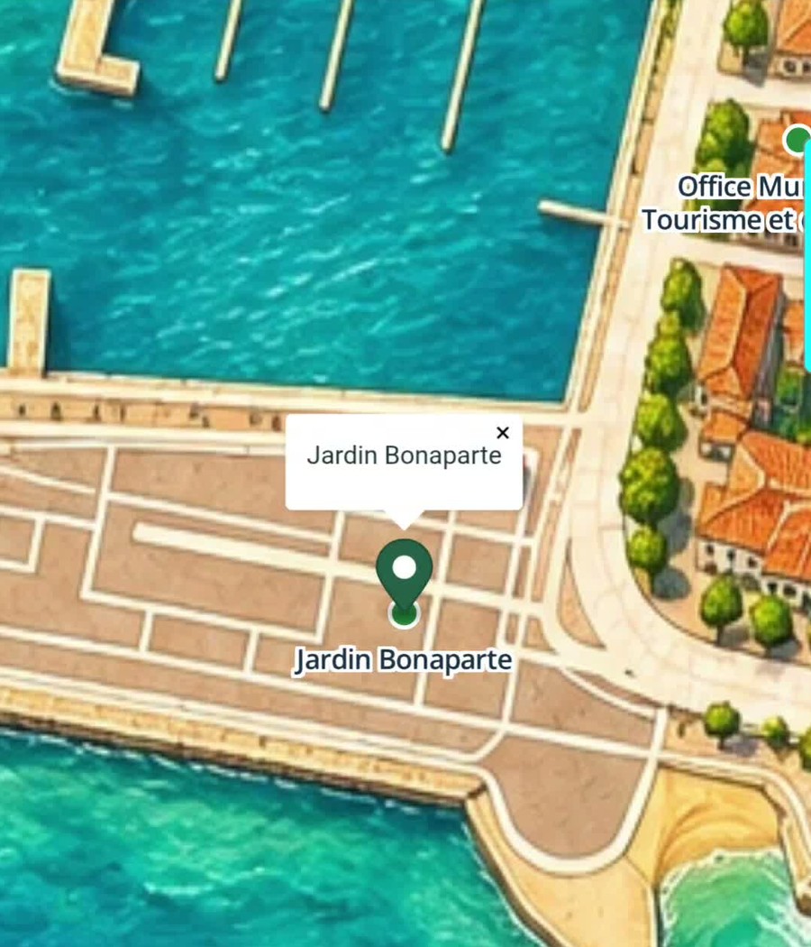
You decide which places, offers and information appear on your map. Prepare content in the protected admin area and choose what to publish.
Discover the map and AI assistant on a smartphone: the video shows how to use WayPilot Tourism and talk to the assistant.
The application shown in Fréjus, France, was created solely as a demo. It is not a client project for the city of Fréjus.
Bring attractions, restaurants and leisure activities together on one map.
Connect information to places and offer walking or driving routes.
German, English and French make information accessible to international visitors.
Find relevant places and information with the AI assistant.
Present attractions and events as part of a shared regional experience.
Publish changes yourself and maintain information centrally.
The AI independently reads information from existing websites when they are integrated into the map and makes it available in conversation. Visitors no longer need to search several websites – they can ask the AI directly.
Yes. Manage places, information, map locations and publication yourself in the protected admin area.
No. The map and destination selection also work without AI. The assistant provides an additional way to access information and routes.
From your published information and existing websites integrated into the map. Visitors can then ask for this information in one place.
A single service or a shared concept — let’s talk about it.